 Jun, 19 2026
There’s a rumor swirling on social media that the monsoon will hit Himachal Pradesh by June 25, bringing heavy rain alerts to five specific districts. But here’s the thing: if you’re looking for an official confirmation of that headline, you won’t find it in the latest government reports. The reality on the ground—and in the data—is far more nuanced.
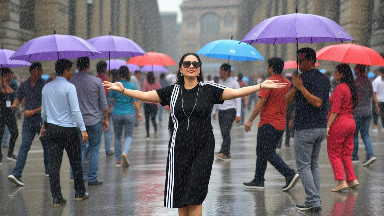
Instead of a single dramatic arrival date, meteorologists are tracking a complex pattern of pre-monsoon showers, isolated hailstorms, and sporadic heavy downpours. For travelers planning a trip to the hills or locals worried about landslides, understanding the difference between a viral Facebook post and actual climatological data is crucial this season.
The Data Behind the Headlines
Let’s look at what the numbers actually say. The India Meteorological Department (IMD) released its Monthly Weather Report for June 2025, which serves as our best baseline for current trends. According to the report, Himachal Pradesh didn’t just sit dry waiting for a magical cutoff date. Instead, it saw scattered to widespread precipitation across many days.
Specifically, there were eight days of “active” rainfall activity and one day of “vigorous” activity on June 29. The state recorded 135.0 mm of total rainfall for the month. To put that in perspective, that ranks as the 21st highest June rainfall since records began in 1901. The wettest June on record? That was back in 1971, with a staggering 252.7 mm. So while 2025 wasn’t a historic deluge, it certainly wasn’t dry either.
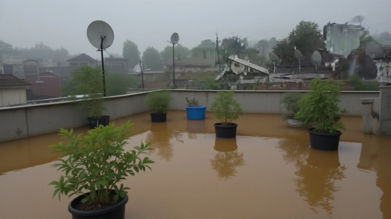
But wait—the real drama happened in specific pockets. On June 25, Palampur in Kangra district received very heavy rain, clocking in at 145.4 mm in a short period. Two days later, Pandoh in Mandi district saw 139.0 mm. These aren’t gentle drizzles; these are the kind of storms that trigger flash floods and disrupt travel routes overnight.
What to Expect in June 2026
Looking ahead to June 2026, forecasts suggest a hotter, drier start before the monsoon fully sets in. Weather25.com predicts temperatures ranging from a mild 29°C (84°F) up to a sweltering 36°C (96°F). Yes, it gets hot in the hills during early summer.
You can expect about 3 to 8 rainy days throughout the month, with a total projected rainfall of around 118 mm. That leaves roughly 24 dry days and plenty of sunshine—about 11.4 hours per day on average. If you’re heading to Shimla, AccuWeather forecasts daily highs between 80°F and 95°F, with overnight lows dipping to 62°F. It’s warm enough for shorts during the day, but you’ll still want a light jacket for the evenings.
In Dharamshala, the averages are slightly cooler, with highs around 83°F and lows near 68°F. The key takeaway? Pack layers. The weather in the Himalayas doesn’t do “consistent.”
Why the Confusion?
So where did that “June 25 monsoon arrival” story come from? Turns out, it’s likely a mix-up of historical data and outdated social media posts. A popular Facebook group, Himachal Pradesh Weather Updates, features a post by Ashutosh Sharma from nearly nine years ago. In it, he predicted a dry first week of June with only 1–5 mm of rain for Himachal, noting that North India would remain dry while the coast got soaked.
That post never mentioned a June 25 deadline for the monsoon. Yet, as old forecasts get reshared without context, they mutate into new headlines. The truth is, the monsoon’s arrival in Himachal varies wildly year to year. Sometimes it lingers in the plains; other times it bursts through the mountains unexpectedly.
Safety First: Hail and Heavy Rain
Don’t let the sunny forecasts fool you entirely. Isolated hailstorms were recorded in Chamba and Shimla districts on June 3 and June 5, 2025. Hail in the mountains can damage crops and make roads slippery fast. Combine that with the potential for very heavy rain in valleys like Kangra and Mandi, and you’ve got a recipe for sudden travel disruptions.
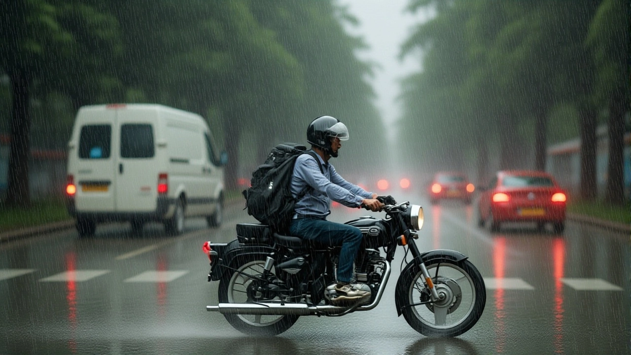
If you’re driving through the NH-5 or NH-22 corridors, keep an eye on local alerts. Landslide risks spike after consecutive days of rain, especially in Sirmaur and Solan districts. The IMD’s definition of “very heavy rain” is anything over 64.5 mm in 24 hours—but localized bursts can exceed that in just a few hours.
Frequently Asked Questions
Will the monsoon definitely reach Himachal Pradesh by June 25?
No official source confirms a fixed June 25 arrival date for the monsoon in Himachal Pradesh. While pre-monsoon showers often begin in late May or early June, the full monsoon system typically arrives in mid-to-late June. Historical data shows variability, so rely on weekly IMD updates rather than fixed calendar dates.
Which districts are most prone to heavy rain alerts?
Kangra, Mandi, Sirmaur, and Shimla districts frequently experience very heavy rainfall events. In June 2025, Palampur (Kangra) and Pandoh (Mandi) recorded over 130 mm of rain in single events. Travelers should monitor IMD alerts for these regions closely, especially during active rainfall days.
How hot does it get in Shimla in June?
Shimla experiences surprisingly warm temperatures in June, with daytime highs ranging from 80°F to 95°F (27°C to 35°C). Overnight lows stay comfortable between 62°F and 77°F (17°C to 25°C). It’s not the cool retreat people expect until the monsoon brings relief in July.
Is hailstorm activity common in Himachal in June?
Yes, isolated hailstorms are recorded annually, particularly in Chamba and Shimla districts. In June 2025, hail was reported on June 3 and June 5. These events are usually brief but can cause significant damage to vehicles and agriculture, so caution is advised during sudden cloud formations.
What is the average rainfall for Himachal Pradesh in June?
The state-wide average for June 2025 was 135.0 mm, ranking as the 21st highest since 1901. Forecasts for June 2026 project around 118 mm. However, rainfall is highly localized, with some areas receiving over 140 mm in single events while others see minimal precipitation.